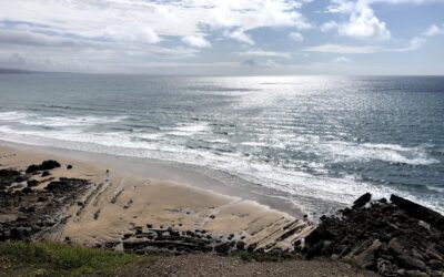
Images are in from Celtic Sea Power’s digital ariel survey of the Celtic Sea by APEM Ltd!
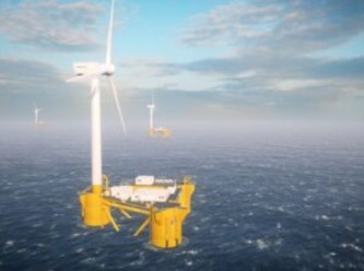
A key objective for us, and part of the aims of the Cornwall Floating Offshore Wind Accelerator project, (an ERDF project) is to provide data to help speed up the planning and consents process for floating offshore wind . To achieve this, we are applying our existing knowledge of environmental and consenting challenges, garnered from personal industry experience; drawing on the published National research for offshore wind resource; and delivering a survey programme focused on securing ‘actionable data.’ In addition to new data and evidence we are also working with key stakeholders to ensure this new data alleviates or ultimately resolves key environmental consenting risks and supports regional environmental characterisation of the Celtic Sea.
The lack of bird and marine mammal data for the area was leading to projected 2-3 year survey periods for offshore wind developments and creating an Environmental Impact Assessment (EIA) risk due to the lack of relevant data and evidence. CSP ran the first of 4 seasonal digital aerial surveys for birds and marine mammals in August 2022. The first of its kind ‘Regional characterisation programme’ was designed with Natural England, RSPB, JNCC and Natural Resources Wales to ensure a sound evidence base was created to support future consenting. The evidence will be enhanced through data sharing agreements with offshore wind developers and other key stakeholders with a regional bird and marine mammal density and distribution model created in collaboration with Natural England through the POSEIDON project. After further discussions on the evidence base CSP is also now looking at including aerial LiDAR on the next round of surveys to fill a potential gap in sea bird flight height data.

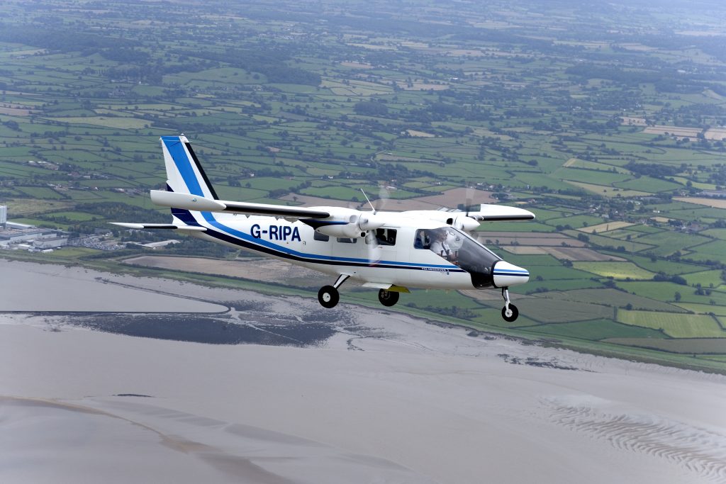
APEM Ltd have been supporting the offshore wind industry across the world for many years, and their early adoption of digital aerial survey methods has ensured that they are a global leader in this field of expertise.
Celtic Sea Power have commissioned APEM to deliver a programme of monthly digital aerial surveys. The surveys are flown at an altitude so as to cause minimal disturbance to wildlife and the innovative technology captures ultra-high resolution images at 1.5cm ground sampling distance.

Images are precisely georeferenced, providing resilient, robust data that can be fully integrated into all GIS systems and create a permanent electronic record that can be revisited and cross-referenced, with an audit trail to ensure a robust and resilient output that can be used throughout the whole lifecycle of an offshore wind farm development.
The survey programme will capture seasonality and migratory patterns of marine wildlife to provide a robust data set for inclusion in the Habitats Regulation Assessment (HRA).
APEM now have a solution to record the flight heights on bird species using airborne LiDAR (Light Detection And Ranging) technology. LiDAR works on the principle of radar but uses light from lasers instead. The device receiver captures the duration it takes for light to be reflected off an object or surface, with this distance calculated using the velocity of light. Image analysts are then able to differentiate clusters of objects captured that are most likely to be birds. Birds identified and tagged are then overlaid to the LiDAR data using GIS and further clusters are matched. Bird flight height data collected in this way is considered a sound addition to the consenting evidence base, and its implementation compliments our three remaining seasonal digital aerial surveys with APEM.
APEM – delivering global best practice
APEM’s approach to best in class survey design, is a four step process, and has evolved over years of delivering digital aerial surveys.
Step 1 is data acquisition. This starts with planning the survey area to ensure that the correct data is captured at the optimal condition. Each survey flown has an onboard aerial survey technician who constantly monitors the data that is captured, ensuring that any adjustments needed are made immediately, negating the need to fly a further survey.
The second step is the analysis of the data captured. This is a meticulous task undertaken by highly skilled image analysts who review the images and identify species, providing characteristic tagging to each image le plus gros gonflable.
Step 3 is taking all sources of data and bringing them together.
The final step is interpretation and recommendations. APEM’s marine wildlife experts provide comprehensive reporting and modelling from the data captured, providing the detail required by regulators.
This approach is unique to APEM – to find out more visit www.apemltd.com
The Cornwall Floating Offshore Wind Accelerator Project is part funded by the European Regional Development Fund.